
Control networks
Survey control designed to give projects a dependable spatial reference.
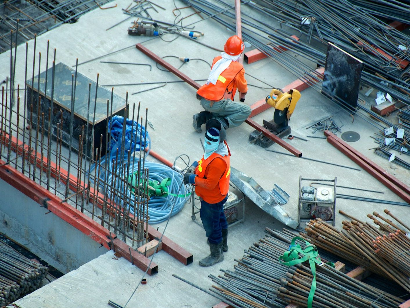

Engineering team working at an infrastructure site
Survey control networks, GNSS data processing, and coordinate system transformations.
Talk to our specialistsOur approach
We establish the positional certainty that underpins dependable mapping, construction, infrastructure management and spatial-data integration.
Survey control designed to give projects a dependable spatial reference.
Rigorous processing and quality assurance for accurate positional data.
Practical alignment between legacy, local and modern coordinate systems.
Start with your context
Tell us what you are working to achieve. We will help you shape a practical route forward.
Start a conversation