
Change detection
Identify meaningful change across places, periods and operational boundaries.

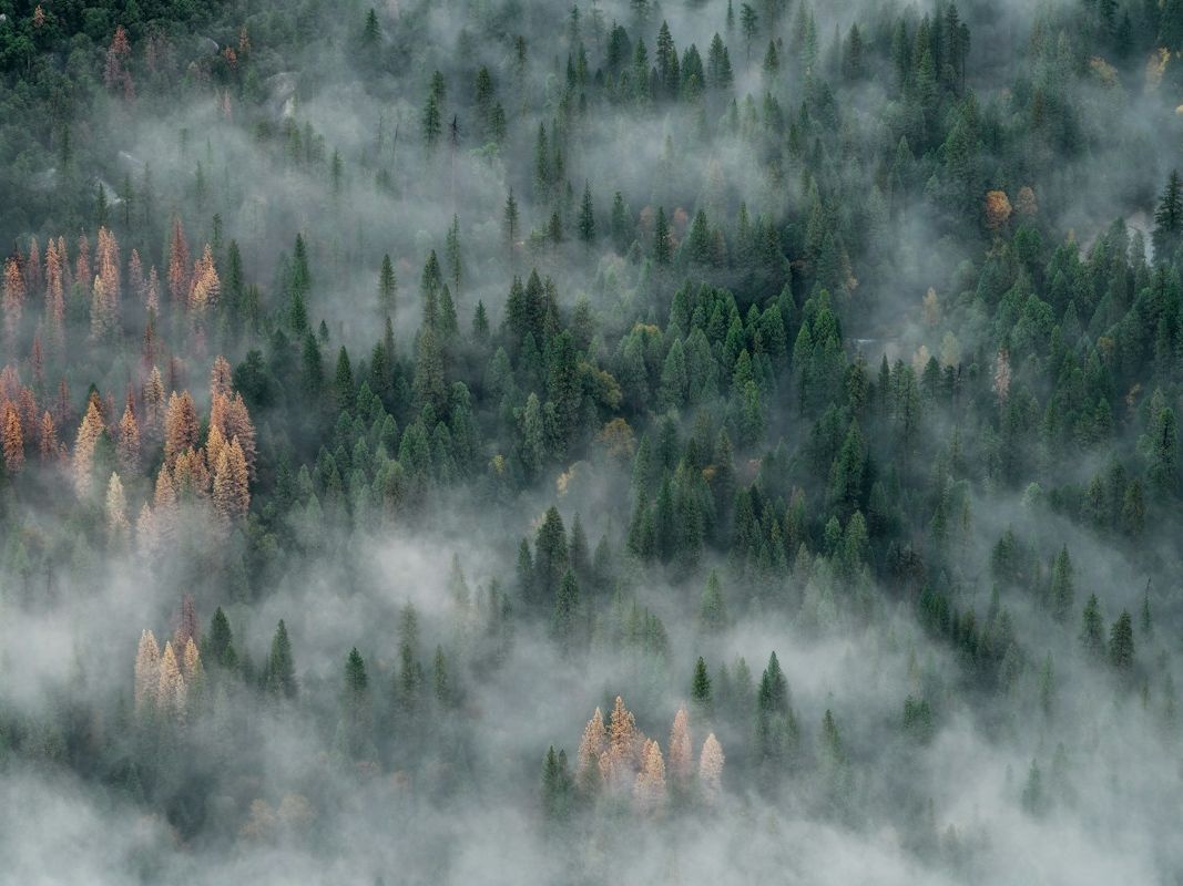
Aerial view of a changing natural landscape
Change detection, land use classification, and environmental monitoring from satellite and aerial platforms.
Talk to our specialistsOur approach
Our remote-sensing services help organisations understand what is changing on the ground, from land use and environmental conditions to the performance of assets and programmes.
Identify meaningful change across places, periods and operational boundaries.
Turn imagery into clear, consistent views of land cover and use.
Support stewardship, compliance and programme reporting with spatial evidence.
Start with your context
Tell us what you are working to achieve. We will help you shape a practical route forward.
Start a conversation