
Image acquisition
Fit-for-purpose imagery selected for your geography, scale, timing and objective.
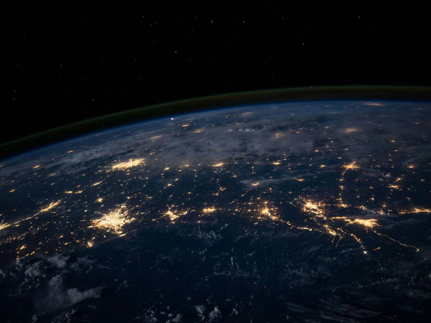
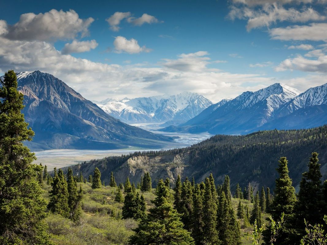
Earth observed from space
Multi-resolution satellite data acquisition, processing, and analysis for government and enterprise.
Talk to our specialistsOur approach
We source, process and interpret satellite imagery so teams can see change, assess conditions and make sound decisions across large or hard-to-reach areas.
Fit-for-purpose imagery selected for your geography, scale, timing and objective.
Prepared imagery that is ready for analysis, mapping and operational use.
Focused interpretation of patterns, land use and activity over time.
Start with your context
Tell us what you are working to achieve. We will help you shape a practical route forward.
Start a conversation